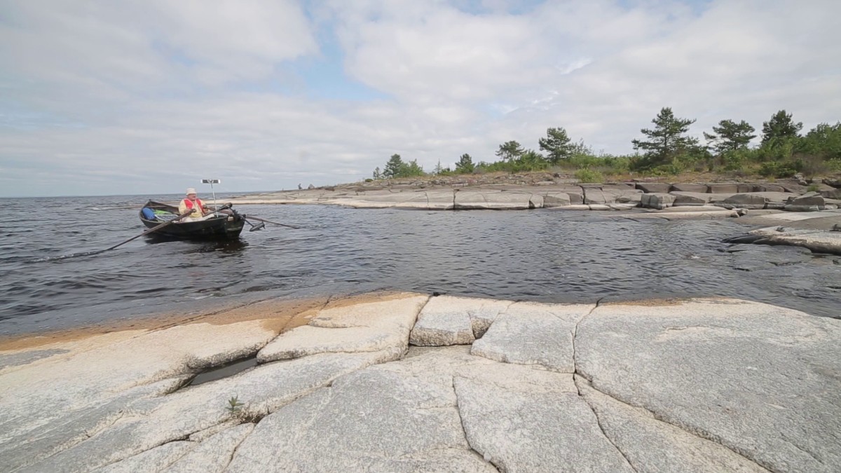
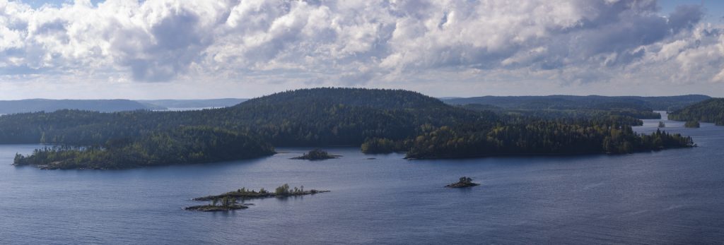
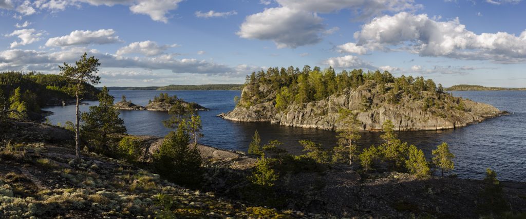
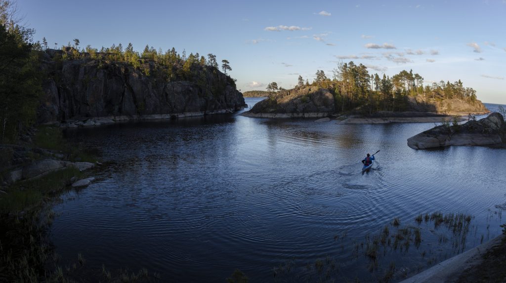
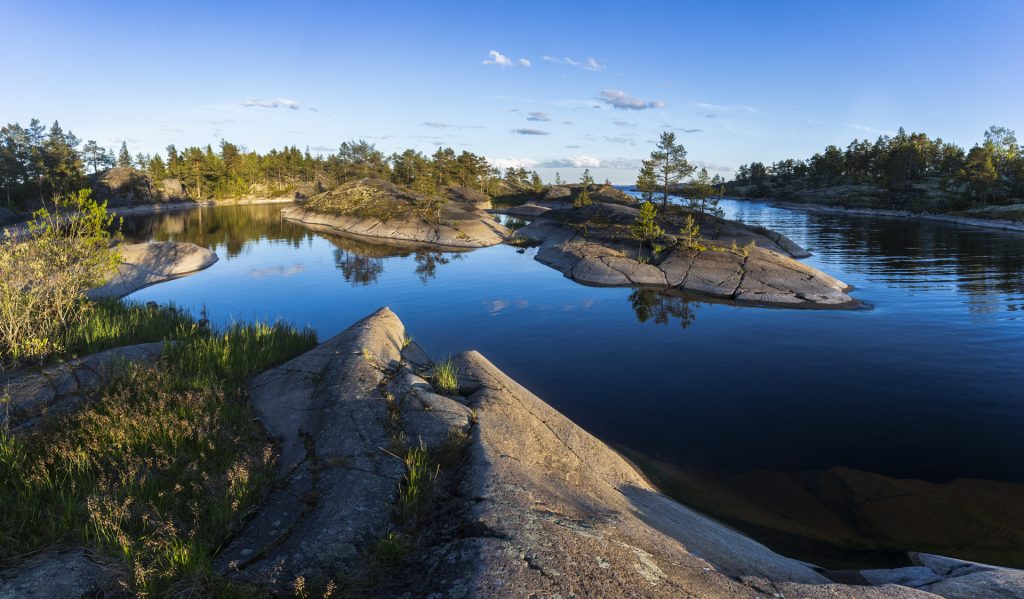
Souturetkeilyä puusoutuveneellä
Hannu Ryhänen – Pielisen retkitarina ja pääosa kuvista
Pekka Pouhula – Pielisen retkiveneen omistaja, kippari ja kuvaaja
Oma soutukipinäni syttyi jo pikkunaskalina Kesälahden kesämökillä. Silloin lähikalalla alla oli Kesälahden Suitsan saaren veneentekijä Ketolaisen kepeäsoutuisen vakaa puuvene.
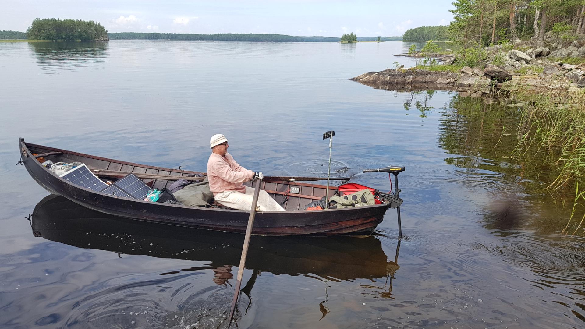
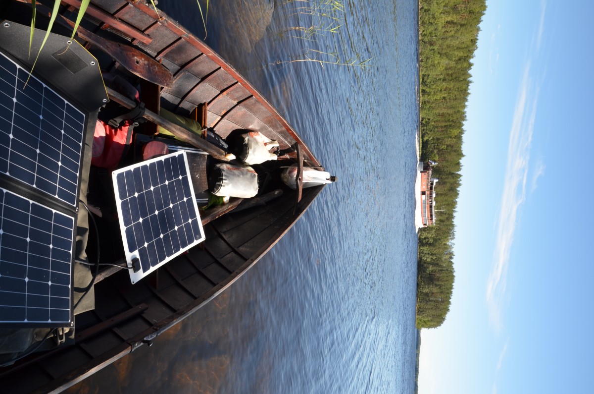
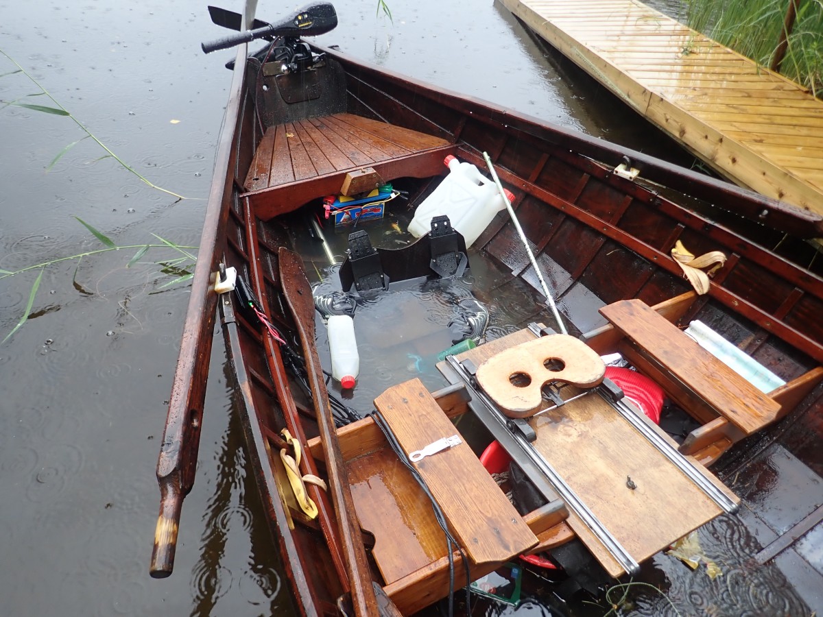
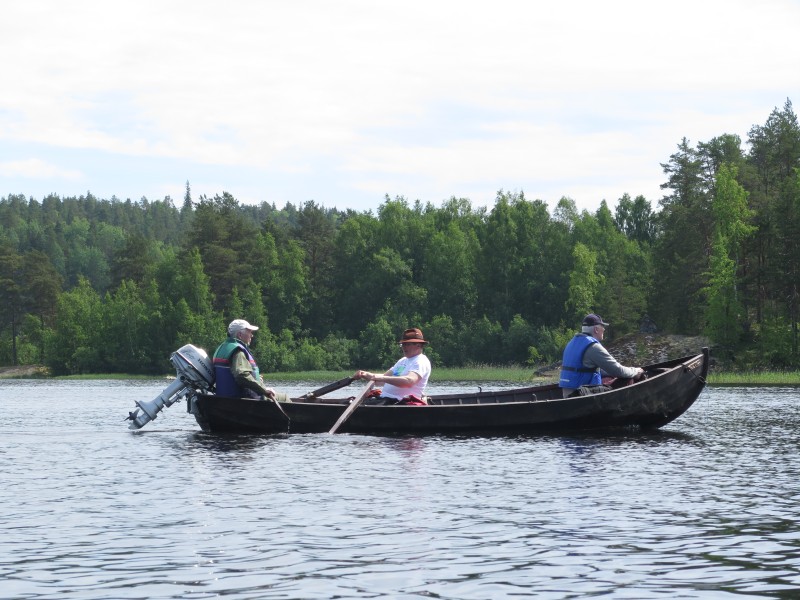
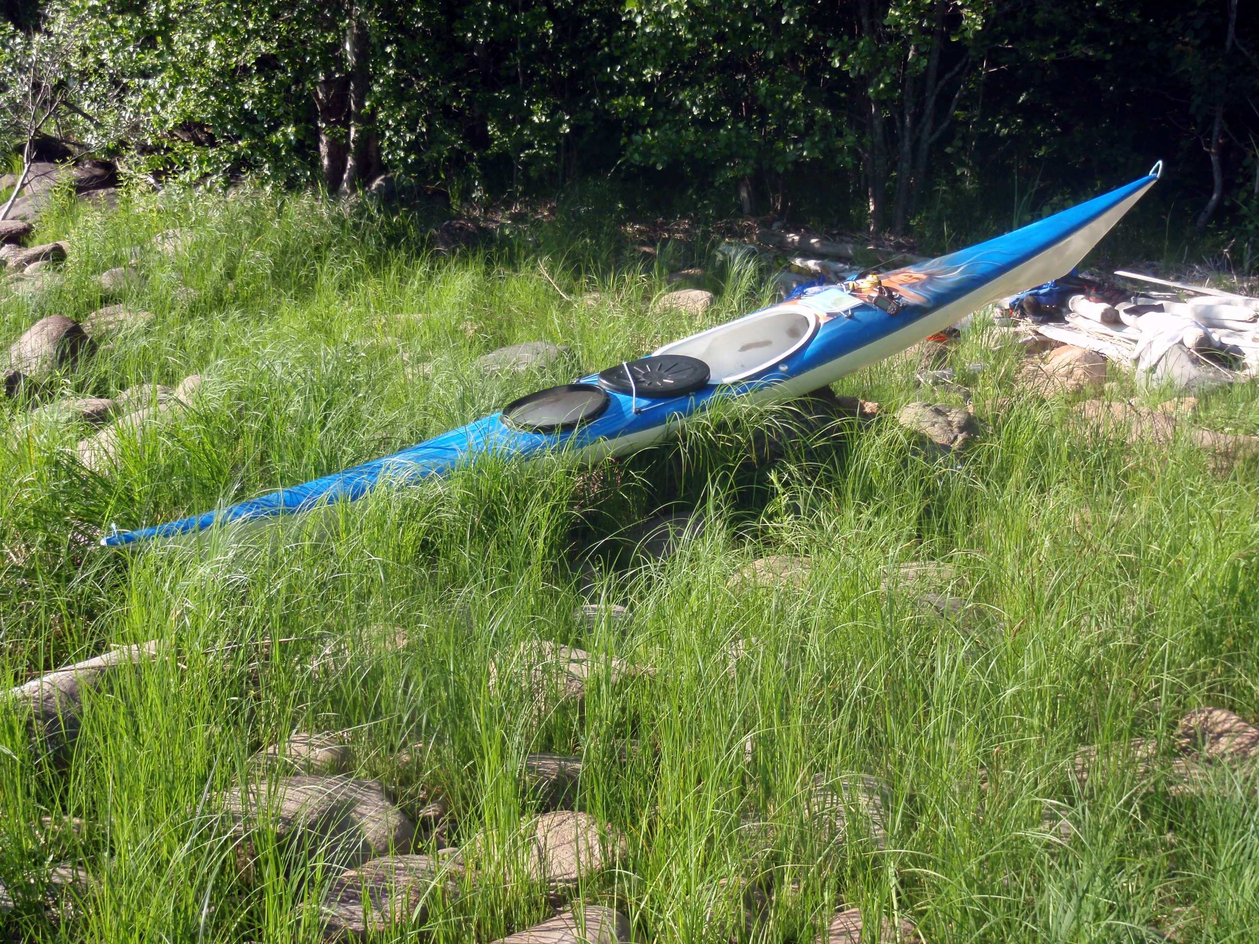
”Pielisen Kierroksella” oli alla vastaavanlainen Ketolaisen työstämä Pekan oma puuvene lisävarusteltuna (liukupenkit ja peräpeili). Kaikin puolin laadukas soutupeli, puusoutuveneiden klassikko.
Nuoruuden soutukipinäni laajeni lähikalastuksesta aikuisiällä kesäharrastukseksi eri järvikohteilla v. 1992 alkaen Höytiäiseltä. Itä-Suomessa ei lopulta ollut enää montaa sellaista järvikohdetta, pienempää tai suurempaa, jossa ei olisi tullut neljä vuosikymmenen mittaan käytyä soutamassa pitkäaikaisen retki- ja soutukaverini Akin kanssa.
Nykyinen kotijärveni Pielinen on ollut jostain syystä poikkeus, sillä vaikka järvellä oli tullut jo souturetkeiltyä lyhyemmillä matkoilla, niin nyt oli aika vihdoin toteuttaa haaveilemani koko Pielisen soutukierros Pekan johdolla, etenkin kun souturetkikaverini Aki voi harvemmin irrottautua perhe-elämästä pitkille souturetkille.
Pekka Pouhula, kaiken kokenut vesiretkeilijä https://pekka.koisua.fi Rantasalmelta oli tullut aiemmin tutuksi mm. Laatokan souturetkeltä ja muista soutuyhteyksistä. Ja koska minulla ei ollut Pielisen retkisoutuun täysin siihen sopivaa puuvenettä, niin luontevaa oli lähteä matkaan Pekan Ketolaisen soutuveneellä.
Hyvän soutuveneen ja kokeneen retkikaverin osalta esteet poistuivat, kun molemmille löytyi sopiva soutuaika kesä-heinäkuun vaihteeseen, joten muuta ei tarvittu kuin retkikamppeiden pakkaus veneeseen ja lähtö sovitusti Nurmeksen satamasta maanantaina 23.6. Pielisen aalloille.
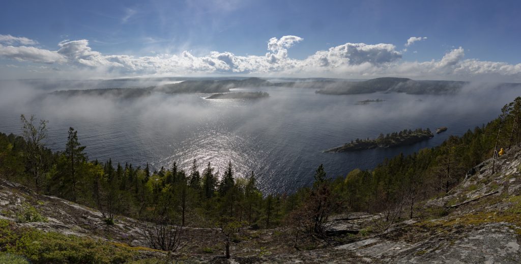
Retkikohteena Pielinen on yksi Suomen suurjärvistä (4. suurin), sijainniltaan varsin pohjoinen ja siksi olosuhteiltaan aika karuhko järvi. Pohjois-eteläsuuntainen järvi on pituudeltaan 84 km ja leveimmillään 33 km. Rantaviivaa on kaikkiaan 1718 km ja vesipinta-alaa 894 km2. Suurin syvyys n. 60 m ja keskisyvyys 10 m. https://fi.wikipedia.org/wiki/Pielinen
Pielinen on myös isoselkäinen ja Pohjoisen Jäämeren säävaikutuksen takia säänmuutokset saattavat olla nopeita, joka huomattiin myös souturetkellä. Väliin oli lempeää kesäsäätä, joka vaihtuu nopeasti kylmän sateiseksi pohjoispuhuriksi. Aallonkorkeus voi myös nopeasti kovalla tuulella nousta isoilla selillä vaativaksi soudettavaksi, jopa vaaralliseksi, mutta tällä kertaa sellaista vahvaa tuulta ei Pielisellä tavattu.
Pielisen souturetkellä pohjois-, etelä- ja itätuulet olivat vallitsevia. Tuulituuria oli mukavasti matkassa, sillä lähtiessä takana oli pohjoistuuli ja palatessa pitkät matkat etelätuulta, vaikka välillä soudimme myös vastatuuleen, etenkin Pielisen eteläisimpään pisteeseen Uimaharjun Ahveniselle saavuttaessa.
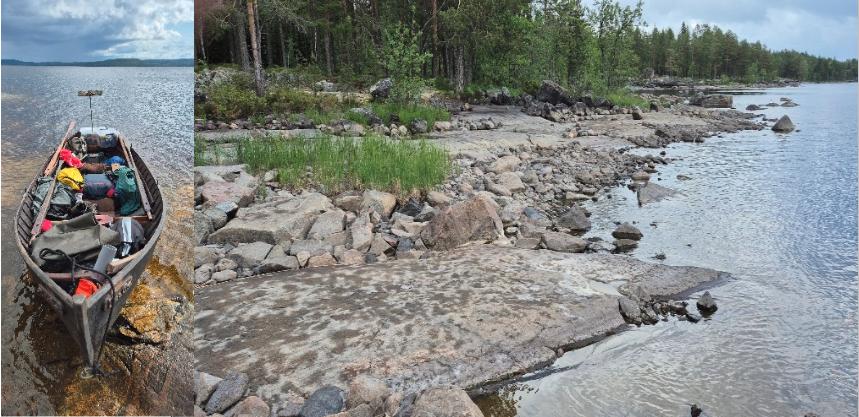
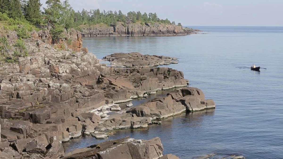
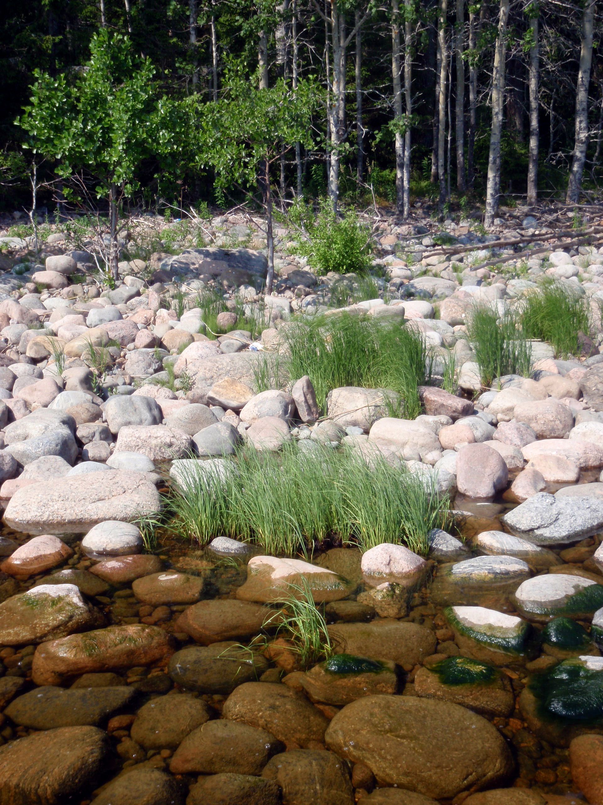
Pielisen rannat olivat kuivan kesän takia matalalla vedellä monin paikoin hyvin kivisiä ja jyrkkäkallioisia, joka rajoitti rantautumismahdollisuuksia. Tosin Pielisellä on varsin hyvin virallisia rantautumispaikkoja erityisesti Kolin vesillä ja löytyy myös villejä hiekka- tai kalliorantaisia rantoja, jonne voi asettautua yöksi.
Hyvillä keleillä Pielinen on lempeän houkutteleva suurjärvi, mutta kovalla säätyypillä, etenkin kylmällä pohjoistuulella, haastava isojen selkiensä ja virallisten rantautumispaikkojen välisten pitkähköjen välimatkojen takia. Säätiedotusten jatkuva seuraaminen olikin välttämätöntä päivittäisen soutusuunnittelun kannalta. Turhaa riskinottoa ei kannata Pielisellä harrastaa lihasvoimaisilla menopeleillä liikkuessa, etenkään kokemattoman vesillä liikkujan.
Pielinen on kiinnostava retkikohde kulttuurihistoriallisesti Kolin, mutta myös mm. Paalasmaan tai Kelvänsaaren osalta, ylipäätään sen saariston tai rantakylien asutus- ja kalastushistorian osalta. Kannattaa ottaa etukäteen selvää Pielisen paikallishistoriasta, joka tuo lisäsisältöä siellä liikkumiseen.
Retkikalastajalle Pielinen on antoisa, mutta syönniltään haastava paikka. Säätyyppi, vuorokauden aika ja tapa kalastaa (esim. vetouistelu, pohjaonginta) vaikuttavat kaikki saaliiseen. Pielisessä on paljon ruokakalaa, mutta ruuan suhteen ei kannata laskea kalan varaan koska saalisvarmuus vaihtelee säätilan mukaan.
Pohjoistuulella ja itätuulella (”Itätuuli vie kalat kattilastakin”) syönti on heikoilla, mutta muuten sopivalla säätilalla saaliskalaa, kuten haukea, ahventa ja kuhaa, on melko helppo tavoittaa vetouistelemalla, jigaamalla tai perinteisesti pohjapilkkimällä seisonta-ankkurilla. Pieliselle kalavehkeet on syytä ottaa aina mukaan riippumatta siitä millä menopelillä ollaan vesillä.
Tällä souturetkellä oli tarkoitus pohjapilkkiä sopivissa väleissä, mutta käytännössä se jäi toteutumatta koska soutupäivät olivat pitkiä ja rasittavia tavoitteellisen soudun sekä leirin pystyttämisen takia tai sitten huono säätila ei sallinut kalastamista. Tuli taas todettua, että souturetket ja kalaretket eivät istu täysin yksi yhteen.
Ma 23.6. Nurmeksen satama – Kuusisaari (soutumatka Vinkerrannan kautta 7 km)
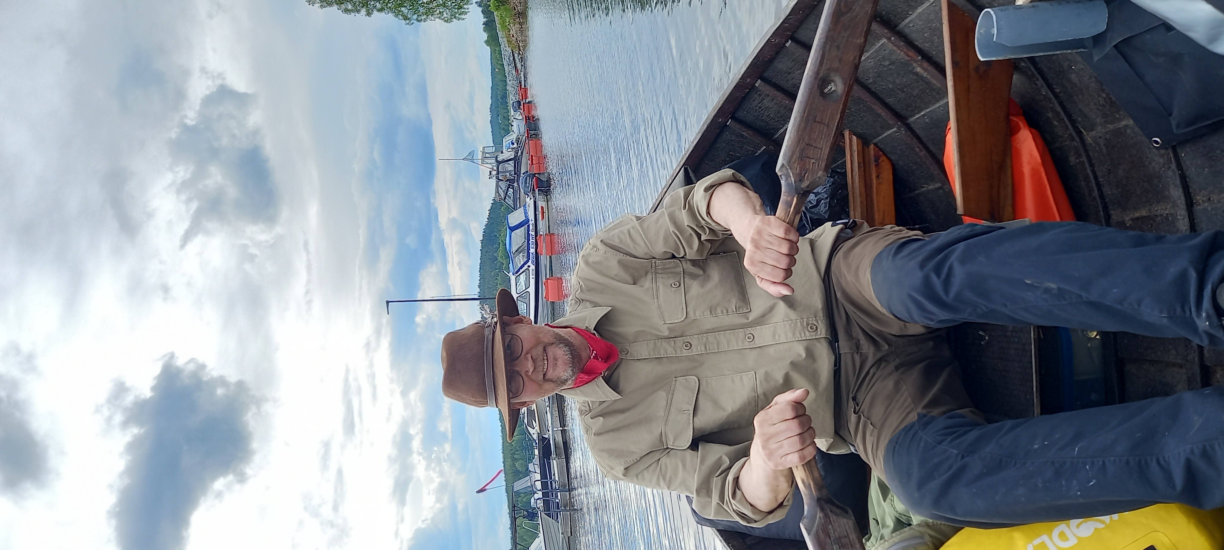
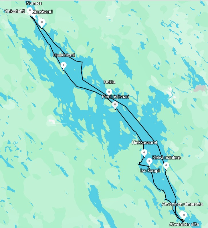
Pielisen ympärisoudun ensimmäiset aironvedot otettiin iltapäivällä klo. 17.55. Tavoitteena oli soutaa itärantaa alas Uimaharjun Ahveniselle ja länsirantaa takaisin Nurmeksen satamaan.

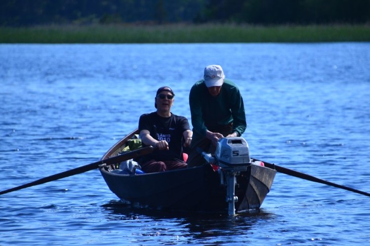
Lähtö Nurmeksen satamasta, Pekka airoissa.
Lähtöpäivänä koukattiin Pielisen pohjoisimman lahden, Vinkerinlahden kautta, että ei lipsuttaisi Pielisen päästä päähän soudussa. Soutu ei jatkunut pitkään, sillä sääennuste lupasi jo tulevaksi yöksi ja seuraavaksi päiväksi voimakasta sade-/tuulikeliä, joten jäimme läheiseen Kuusisaareen odottamaan kelin selkenemistä. Nurmeslainen puuveneentekijä Aki Ruotsalainen tarjosi ystävällisesti käyttöömme saarimökkinsä odotettavissa olevan kesämyrskyn takia.

Koukkaus Vinkerlahden kautta
Ti 24.6. Kuusisaari 0 km (sade)
Vielä toinen yö Kuusisaaressa myrskyn takia.
Ke 25.6. Kuusisaari – Hekla (32 km)
Keskiviikkona klo. 10.30 vihdoin Pieliselle matkantekoon sateiden jälkeen tavoitteena Hekla saaren virallinen rantautumispaikka.
Itseäni pitkä Pielisen soutu hieman jännitti, vaikka soutukokemusta on kertynyt lukuisilta eri järviltä Itä-Suomessa, muun muassa. noin 200 km pitkältä Saimaan souturetkeltä ja Laatokalta.
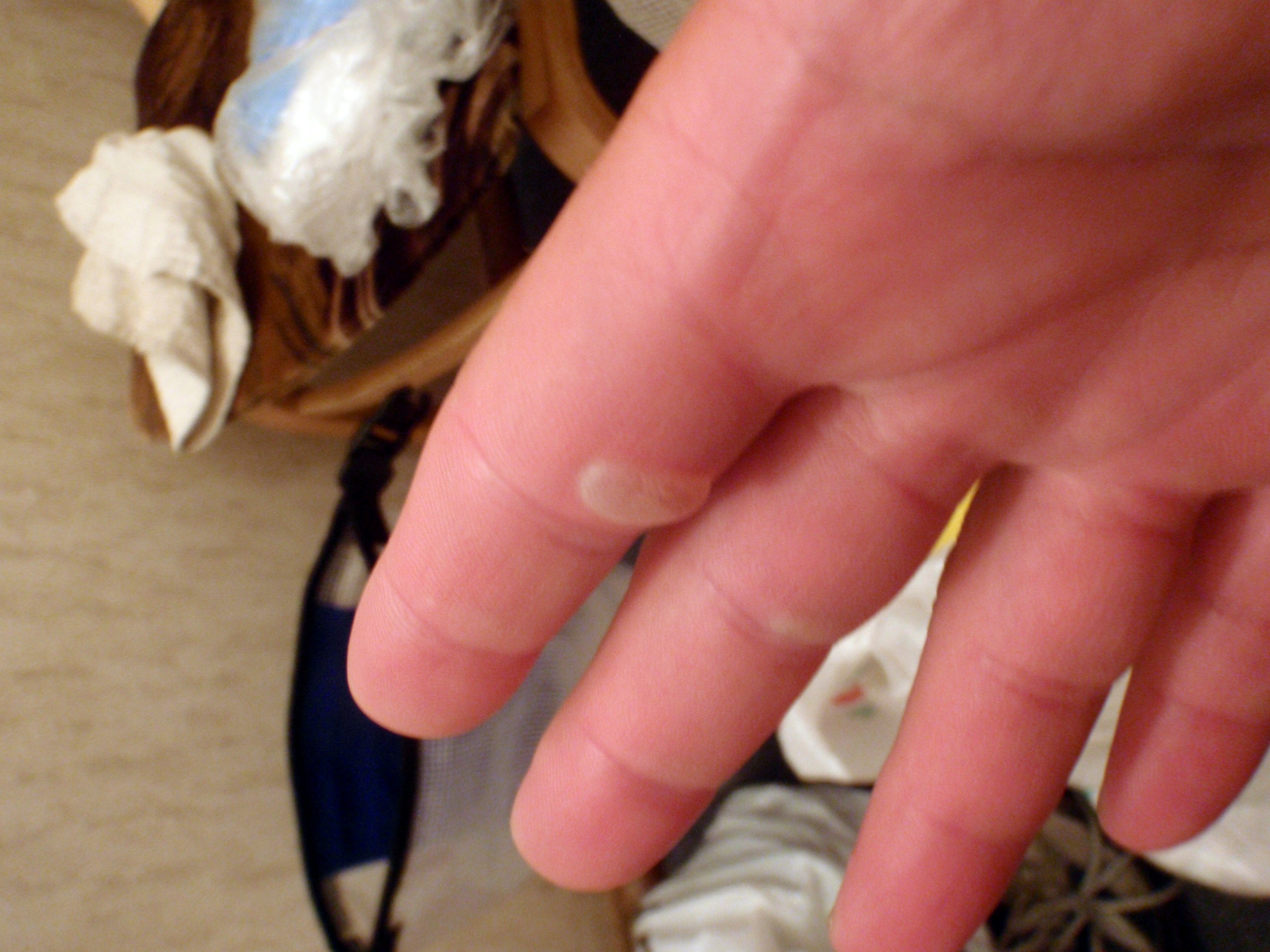
Pielinen oli jo tuttu vesiretkeilykohteena, mutta se askarrutti, että tuleeko rakkoja käteen koska työ- ym. kiireiden takia en ehtinyt tarpeeksi soutamaan omalla puusoutuveneellä. Kämmenet eivät olleet kovettuneet pitkää soutua varten.
Myös liukupenkit olivat minulle uutta ja aluksi oli vaikeaa löytää niillä kunnon souturytmiä, mutta aika nopeasti penkkiin tottui ja Pekan peräsouturytmiä seuraamalla pysyi yhteisrytmissä.
Liukusoutupenkki oli sikäli matkan aikana vaativa, että sen puisen kovalla penkillä ei edes peffan pehmuste auttanut etenkään loppumatkasta, vaan vanha selän välilevyvaurio säteili vahvana kipuna liukupenkistä pakarahermoon. Loppumatkasta venyttelytauot rannoilla auttoivat jatkamaan matkaa vähemmän kivutta ja muutenkin on hyvä väliin rantautua venyttelemään lihaksia ruokailutaukojen lisäksi.
Yllättävästi kämmenrakot jäivät tulematta soutumatkalla, vaikka jätin käyttämättä soutuhanskojani. Sovelsin rakontorjuntaan ”kolmen avokämmenpaikan vetoa”; ensin sormien kärkiveto, sitten sormenjuuriveto ja lopulta avoin kämmenveto, kaikki vuoron perään. Kämmenen aukaisutuuletus joka vedon jälkeen, ettei kertyvä kämmenhiki aiheuttaisi rakkoja. Tosin jos soutureissuilla olisi ollut pidempiä etappeja vastatuulisoutua, niin luultavasti olisin saanut epäortodoksisella soututekniikallani rakkoja kämmeniin.
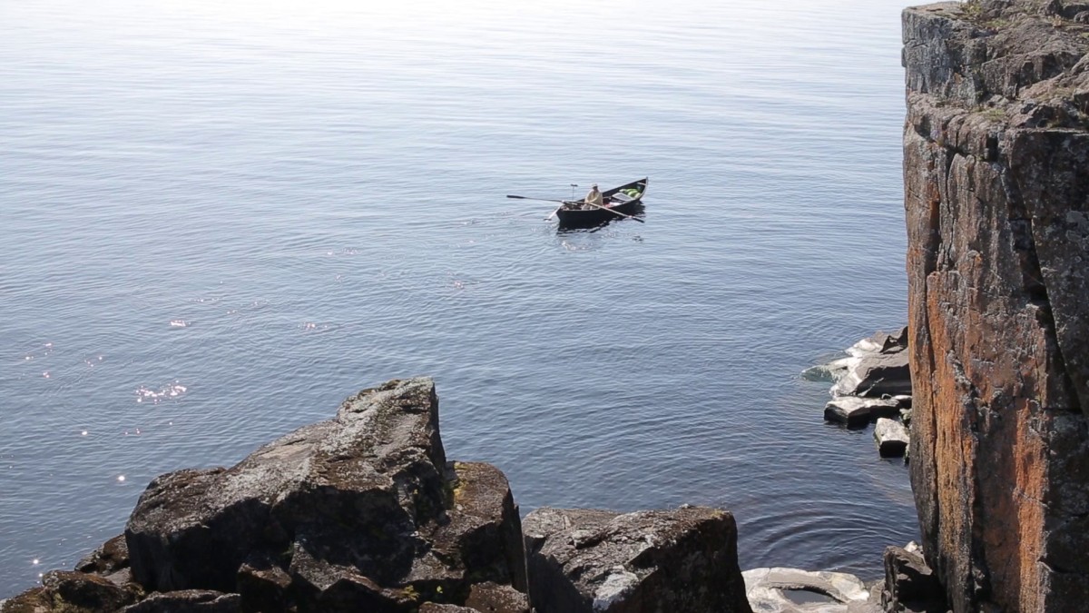
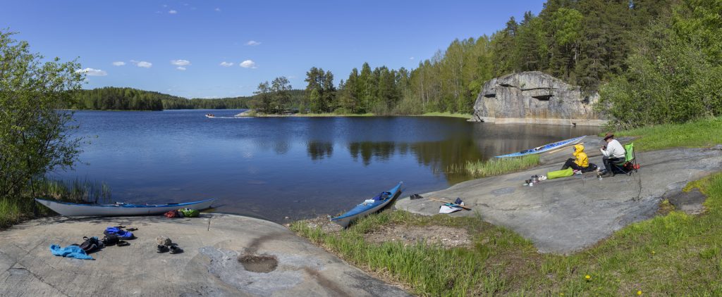
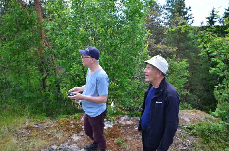
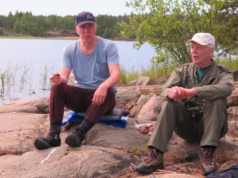
Kuusisaaren jälkeen soutupäivän ensimmäinen retkitauko pidettiin Pielisen itärannalla. Pekka löysi itselleen sopivan näköalakallion taukopaikaksi.
Itärannan tauon jälkeen jatkoimme tavoitteellista soutamista ohi Uramonsaaren kohti Porosaarta, jonka länsirannan ohi koukkaisimme kohti Heklan saarta, ensimmäiseen rantautumispaikkaamme.
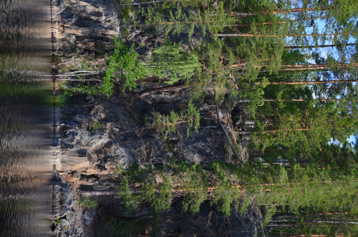
Porosaaren kahvittelutauko sen rantakalliolla rytmitti soutua ja toi tarvittavaa lisäenergiaa. Porosaaren läntinen rantavyöhyke on laajalti suojeltua aluetta yhdessä sen luoteispuolella olevien – rannoiltaan kivisten/kallioisten – pikkusaarien ohella ja yksi kauneimpia alueita koko Pielisen saaristossa.
Loppumatkasta Heklaan tihkutti sadetta ja tuuli puhalsi voimallisesti koillisen suunnalta. Piti olla souturytmissä tarkkana, ettei vene kääntynyt aaltojen voimasta sivuttain, sillä airo iski helposti nousevaan sivuaaltoon, joka sekoitti souturytmin. Soutuveto olikin hyvä sovittaa tarkasti osumaltaan sivuaaltoon niin, että souturytmi säilyi ehjänä ja soutuveto yhdessä nousuaallon kannattelema vei siten venettä vauhdilla eteenpäin.
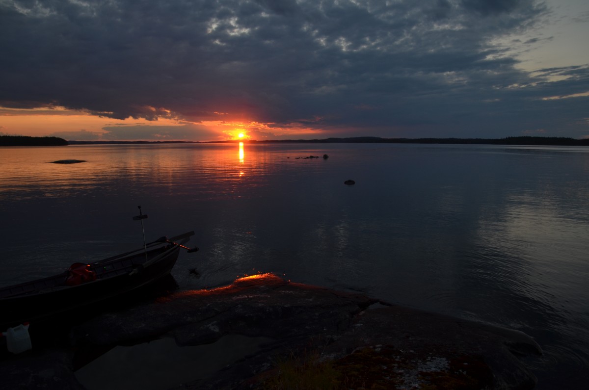
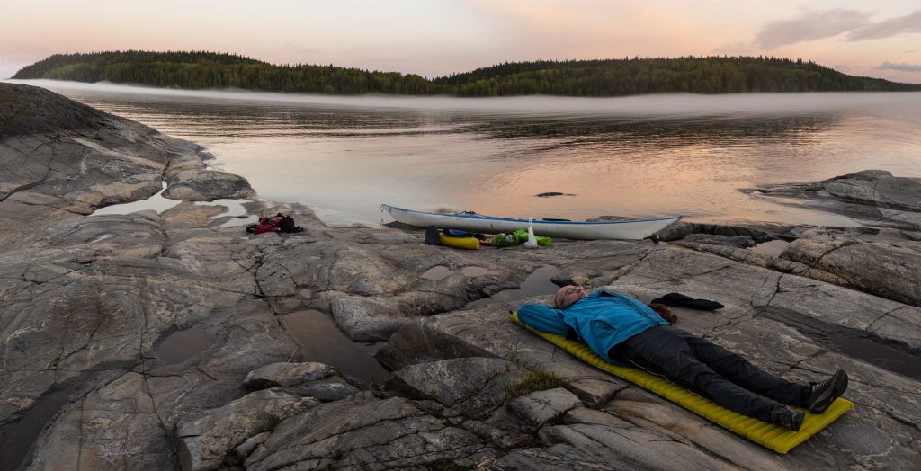
Heklaan rantauduttiin klo. 20.00 kulmilla ja muuta ei ollut mitään muuta mielessä pitkän kylmän souturupeaman jälkeen kuin teltat pystyyn ja trangialla teltan absidin suojassa valmistui retkiruokaa energiavajetta paikkaamaan. Lämmin sokerirommitee saatteli tuulen vinkuessa lopulta unten maille.
Yöllä nukutti hyvin, mutta koska pohjoissuunnan tuuli teki yöstä osin kylmän ja kun oma makuupussini oli enemmän kesäpussi, niin päätin hommata soutureissun jälkeen itselleni vihdoin ensimmäisen untuvamakuupussini.
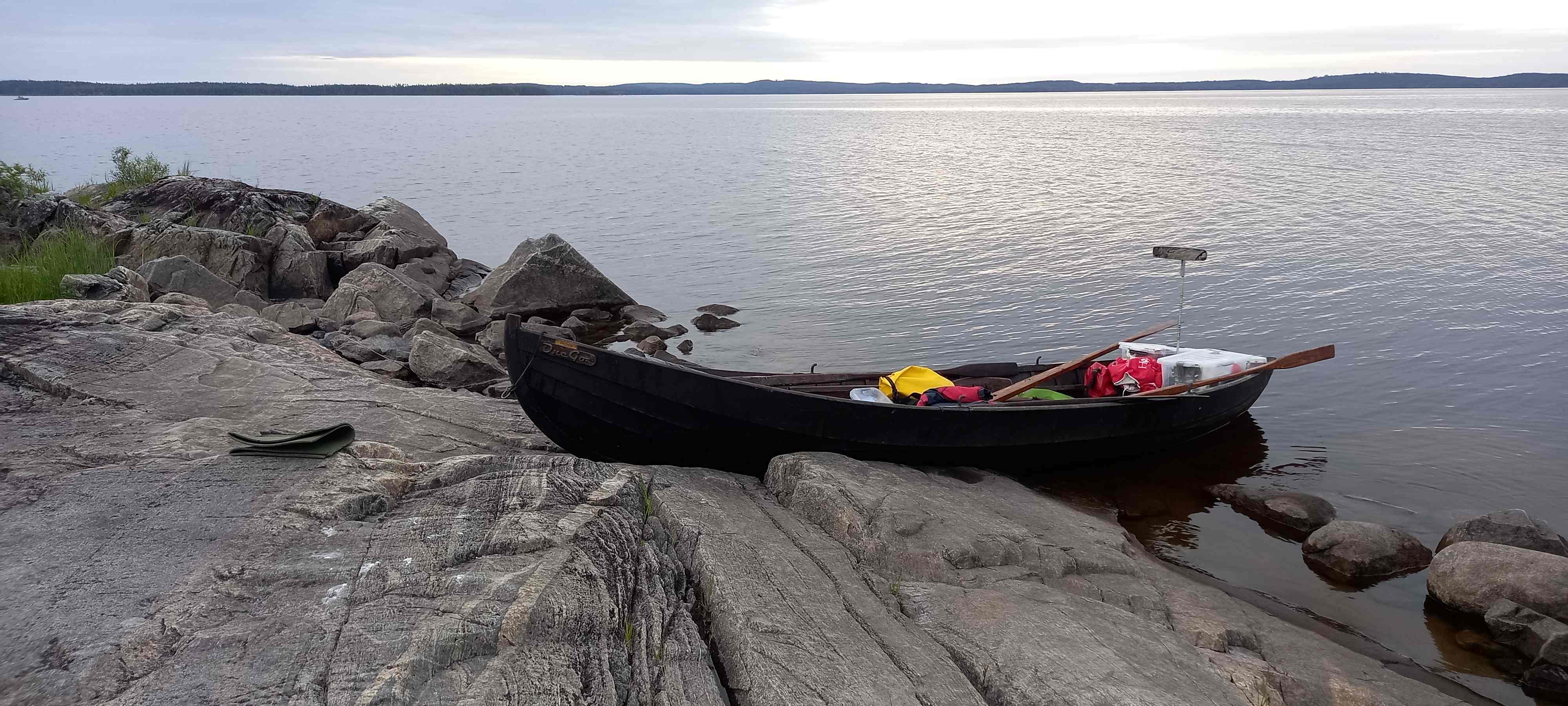
Knoppina, että Pekan hyvän retkisoutuveneen kryptinen nimi tulee Venäjän kielisestä ”Onego” (Ääninen) nimestä. Karjalan tasavallassa on nettisivusto onego.ru ja venäjän kielessä tuo loppu o lausutaan a:na, jolloin Onega vääntyy luontevasti soutuvenettä eteenpäin vieväksi ”One Go” nimeksi. Vene on käynyt monta kertaa Äänisellä.
Pekan vene on myös rekisteröity Traficomin venerekisteriin (P62504) ja hänen tietääkseen ei ole muita soutuveneitä rekisteröity samalla tavalla.
To 26.6. Hekla – Kelvänsaaren vastaranta (32 km)
Hekla on pieni hiekkarantainen harjusaari ja virallinen huollettu taukopaikka, josta löytyvät ulkovessa ja nuotiokehä. Paikkaa voi suositella Nurmeksesta tehtävän pidemmän Pielisen veneretken tukikohtana. Polttopuut on tuotava itse paikalle.
Heklan aamutoimien jälkeen matka jatkui hienossa kesäsäässä ja reippaassa myötäaallokossa pitkin Pielisen Suurselkää kohti Kelvänsaarta. Soutu- ja ruokailutauko pidettiin Vaarapahtaalla, Pekan tietämän rantamökin omistajan laiturilla alueen kivikkoisten ja siksi hyvin hankalasti rantauduttavien rantojen takia. Hieman jopa jänskätti soutaa kovenevassa tuulessa Pielisen kivisillä saaripahtaiden alueella.
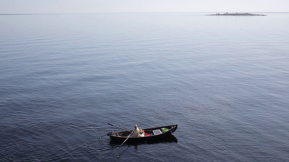
Taukopaikan energiatankkauksen jälkeen matka jatkui Vuonislahden ohi kohti Kelvänsaarta, jolloin Kolin vaarat avautuivat etäisyydessä ensikertaa Pielisen suuntaan. Samalla saatiin tuntumaa sen edustalla olevan Pielisen Suurselän maininkeihin.
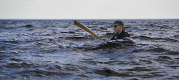
Ääretön näkymä pohjoisen ja etelän suuntaan toi mieleen jo ”Pielisen meren”. Kuva ja video Pielisen osin murtuvasta aallokosta, jossa ilman perämiehen jatkuvaa ohjausta oli jo astetta vaikeampaa soutaa.
Videolla Pielisen jo osin murtuvia aaltoja sekä veneen keinuntaa ”Pielisen meren” mainingeilla.
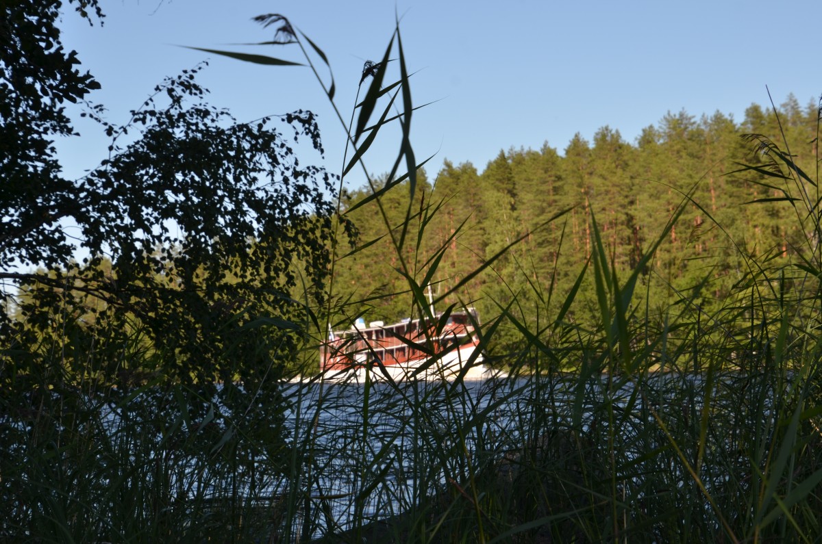
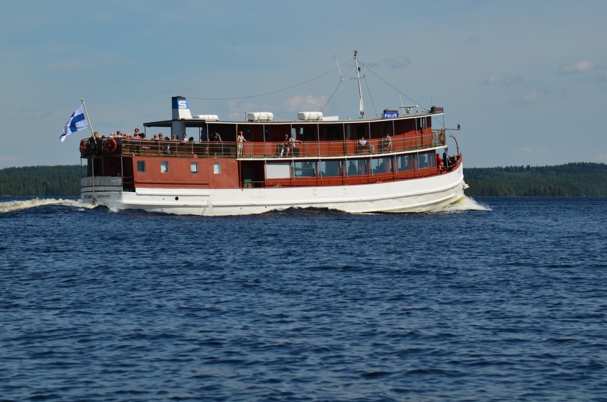
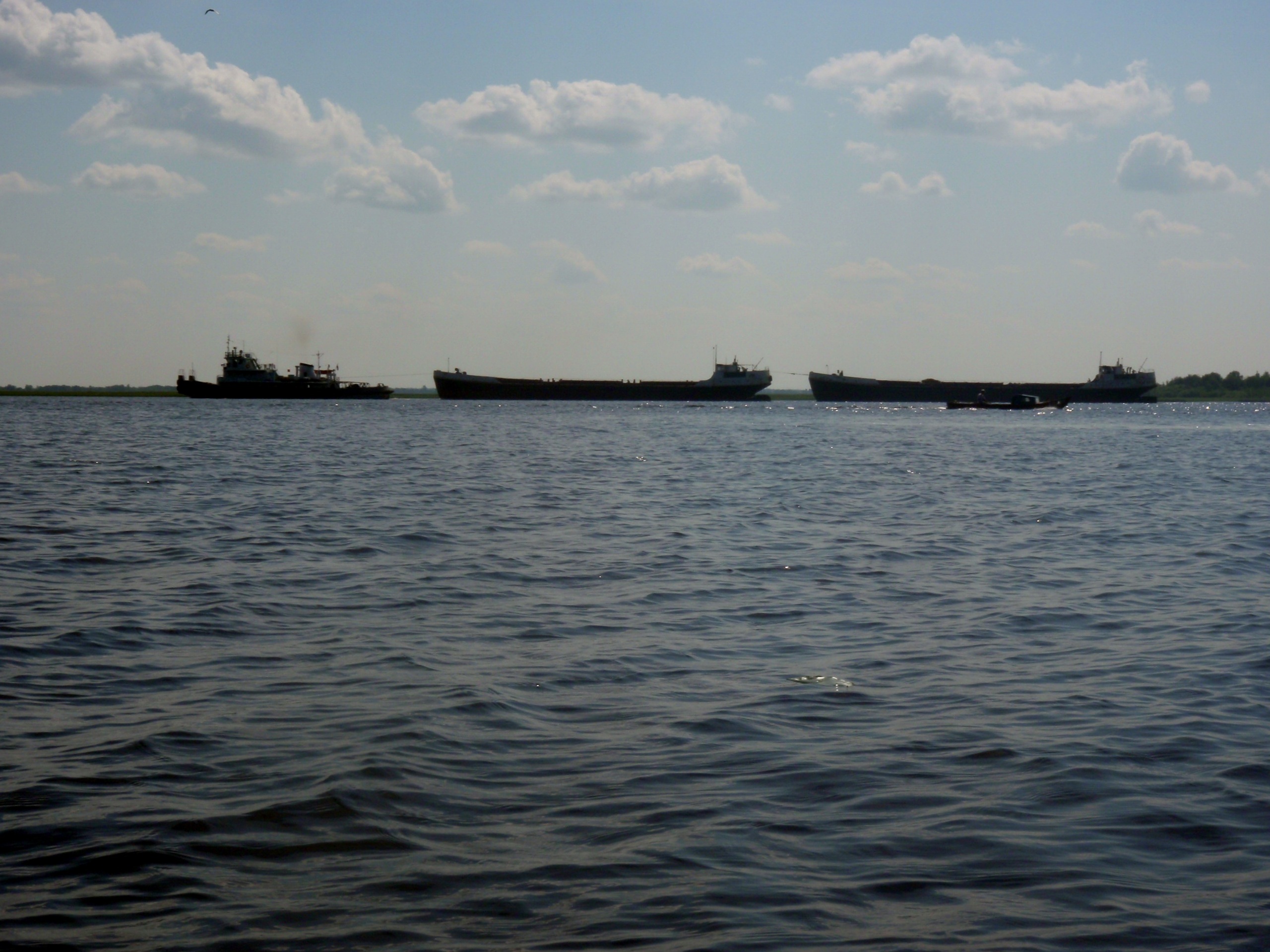
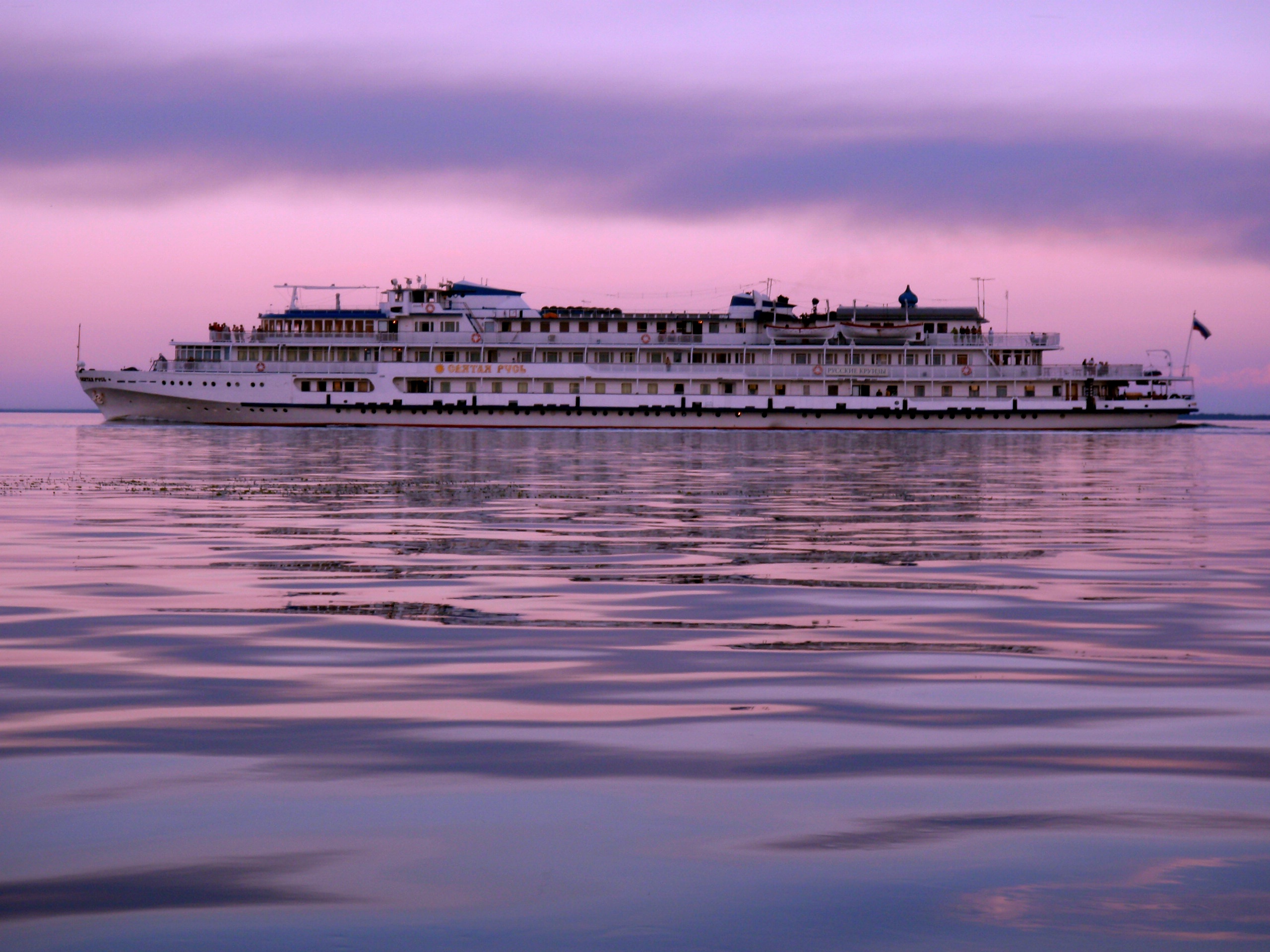
Matkailukausi oli parhaimmillaan, joten samoilla vesillä Lieksan satamasta suuntasi laiva kohti Kolin satamaa.
Seuraava leiripaikka ei ollut pitkän päivän jälkeen selvillä, mutta sellaiseksi valikoitui lopulta Kelvänsaarta vastapäätä mantereen puolella oleva paikallisen uimarannan viereinen ranta. Se oli paikka, jossa myös itse heitin vihdoin raskaan talviturkin pois päältäni. Varsin mukava paikka majoittua, mutta pitkän soutupäivän jälkeen ainoat ajatukset olivat saada teltta pystyyn, ruokaa massuun ja unosille.
27.6. Kelvänsaaren vastaranta – Ahveninen (21 km)
Aamulla normaalit ruokarutiinit (teetä, pikakaurapuuroa, kuivaleipää ja pähkinöitä), että jaksoi soutaa kohti Uimaharjua Ahvenisen sillalle saakka, Pielisen eteläiseen pisteeseen. Sen toisella puolella avautuu jo kokonaan uusi järvialue, Rukavesi.
Vesi oli koko kesän alhaalla Pielisessä, rantakivikot näkyvillä ja kivet/kiviluodot pinnassa. Pari kertaa veneen pohja hipaisi pintakiveä. Oli syytä olla tavallista varovaisempi, ettei vakiosoutunopeudella (5–6 km/h) törmäyttänyt soutuvenettä aivan pinnan alla piileviin kiviin tai hakannut niihin vahingossa airoa hajalle.
Pikataukoa vietettiin kivisellä rannalla ennen Ahvenista, jonne kovassa pohjoistuulessa olisi ollut aika mahdotonta saada venettä turvallisesti rantaan, mutta tyynellä se kelpasi hetkellisesti taukopaikaksi.
Pikatauon jälkeen vastatuuli loppumatkasta testasi soutukuntoa, jolloin matkaa Pielisen eteläpäähän Ahveniselle oli jäljellä enää noin 4.5 km. Viimein Ahveninen toivotti Pielisen kierroksen souturetkeilijät pienen sateen saattelemana sen eteläisimpään pisteeseen Ahvenisen sillan alle. Oli kuin olisi ylitetty päiväntasaaja, jota osatavoitetta oli syytä juhlistaa rommitilkalla, isossa ja pienessä juoma-astiassa sekä antaa Pieliselle sille kuuluva osuus.
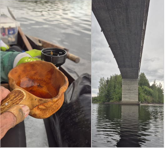
Pieni juhlahetki Ahvenisen sillan alla ja pikku tujaus rommia Pielisen eteläisimmän pisteen saavuttamisen kunniaksi.
Yöpymispaikassa oli hieman hakemista, mutta lopulta päädyimme läheiselle Uimaharjun viralliselle uimarannalle, jossa sai myös virallisesti telttailla. Se osoittautui tarpeeksi rauhalliseksi yöpaikaksi ja palveluina siellä olivat WC, roskis ja sopivia telttapaikkoja löytyi myös rannan ääreltä..
Saman aikaan paikalle osui myös vanhempi saksalainen pariskunta matkailuautolla. Vaimo piipahti pikaisesti uimassa ja valitteli kylmää vettä. Saman totesin itsekin, Pielisen viileässä vedessä ei tehnyt mieli pulikoida.
Ainoa haittapuoli leiripaikassa oli Uimaharjun tien läheisyys, sen kovaääninen rekka- ym. liikenne, mutta se ei pidätellyt jo väsähtäneen soutajan unta.
Puolivälimatkan retkihuomioita väliltä Nurmes – Ahveninen
- Henkilökohtaisesti minulla oli pääosa ruoka-, lääke- ja retkikamppeista pakattu Tokmannilta ostettuihin muovilaatikoihin. Se oli hätäratkaisu, joka sinänsä toimi, mutta vei turhaa tilaa veneessä ja ne ovat lopulta herkkiä hajoamaan. Vastaavia retkiä varten teetetyt/ostetut pienemmät kulmavahvistetut vanerilaatikot liukukannella olisivat esteettisesti parempia, kestävämpiä ja sopisivat hyvin souturetkien pakkaustarpeeseen vaikka veisivät kyllä tilaa paljon enemmän kuin Pekan helposti veneeseen pakattavat Ortliebin vedenpitävät laukut ja kanoottisäkit.
- Vedenpuhdistin Graylin Geopress on toiminut aina järviretkillä ja muillakin retkillä hyvin, sillä se puhdistaa hetkessä esim. litran järvivettä juomapuhtaaksi ja on helppo käyttää. Tosin se vaatii jonkun verran voimaa, että saa veden virtaamaan suodattimen läpi, mutta ilman Graylia olisin jäänyt monta kertaa soutuveneessä janoiseksi. Yksi suodatin kestää noin 350 suodatuskertaa, joten turvallista on suodattaa puhdasta vettä 320–330 litraa. Yksi suodatin maksaa ostopaikan mukaan n. 24–30 €.
La 28.6. Ahveninen – Iso-Korppi (23 km)
Rauhaisa ja aurinkoisen lämmin aamuherätys teltassa. Suunta vakio aamutee- ja ruokarituaalien jälkeen takaisin etelästä kohti pohjoista Kolin kautta Nurmekseen; pikakaurapuuro hunajalla, kuivaa siemenleipää ja pientä energianaposteltavaa kuten pähkinöitä. Ensietappina Ahveninen – Rykiniemi jonne saapumista ennen se tavallinen pikatankkaus- ja pissatauko.

Pikainen rantautumistauko ennen Rykiniemeä aiemmin jo tutuksi tulleissa Pielisen kivikoissa. Kolin kulmia lähestyttäessä Pielisen vesi kirkastuu ja näkösyvyys kasvaa verrattuna Pielisen pohjoispäähän.
Kolin kansallispuiston Rykiniemen rantautumis- ja ruokatauko ennen Iso-Korppia oli hyvä ratkaisu, sillä ennakoitu 21 km päivämatka hieman jo hapotti. Sikäli hyvä, että seuraavana yönä ja osin seuraavana päivänä oli luvassa pohjoisesta myrskytuulta, joka tarkoitti palauttavaa lepopäivää teltan suojassa.

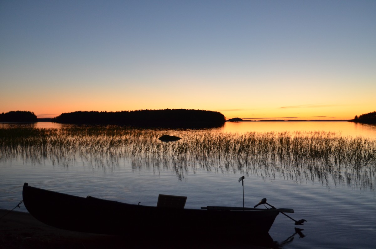
Rykiniemen leiripaikan rantaviiva oli niin matalavetinen, että soutuvene piti jättää pohjastaan rantaveteen kiinni.
Syinä Pielisen veden alhaisuuteen olivat mm. varsin kuiva alkukesä, mutta oma osansa siinä lienee ollut myös Pohjois-Karjalan Sähkön Kaltimon voimalaitossäännöstelyllä. Esimerkiksi Nurmeksen satamassa vesi oli poikkeuksellisen alhaalla moniin aiempiin vuosiin nähden ja veneteljoja piti laskea viime vuoteen nähden merkittävästi enemmän, että sai yleensä kuivalta maalta soutuveneen vesille.

Rykiniemessä oli Kolin kansallispuiston peruspalveluista opastaulu karttoineen, ruokailupöytä, WC ja halkoliiteri.
Huomionarvoista oli, että Pielisen länsirannalla näkyi ennen Rykiniemeä rantautumisen runsaasti kieltolappuja yksityisten mailla.
Rykiniemessä ei kauan viihdytty vaan matka jatkui kevyen ruokailun jälkeen kohti Kolin vastapäätä olevalle Iso-Korpin saaren leiripaikalle. Reitti valittiin mantereen ja saariketjun, Laito-, Purje- ja Koprasaarien suojassa.
Iso-Korppiin saavuttaessa teki mieli uimaan, mutta vahva sinilevämatto Kolin puoleisella rannalla ei houkutellut veteen. Onneksi saaren toiselta puolelta löytyi sinilevätön ”minihiekkaranta”, josta voi pulahtaa jo varsin lämpimään Pielisen veteen. Ilta oli mukavan lämmin ennen yöllä nousevaa myrskyä.
Kolin kansallispuiston hotellirakennus ja laskettelurinteet sijaitsivat aivan vastapäätä Iso-Korppia, mutta vesiltä katsottuna Koli vaikutti varsin surkealta. Koli on näköalapaikka ja sitä on katsottava siksi Kolin laelta Pieliselle päin, jolloin sen kansallismaisena pääsee vasta oikeuksiinsa.
Hieno lämmin kesäilta, jota kiusasivat hyttyset ja mäkäräiset. Tavalliset leiriytymistoimet teltan pystytyksineen ja tällä kertaa pitkän päivän sekä monen soutuetapin jälkeen oli tarvetta syödä tukevampaa ”nötköttiä” pannulla paistettuna. Hieman rommia mustan teen kanssa ja siitä ei kauan mennyt, kun pitkän päivän päätteeksi molemmat souturetkeläiset kellahtivat teltoissaan makuupussin lämpimään.
Su 29.6. (O km)
Myrsky iski Pieliselle myöhäisillan aikana ja seuraava päiväkin meni pääosin teltassa lepäillessä. Kylmä ja kova pohjoistuuli tuiversi, jolloin lähes 1,5 vrk ajan näkymä kaventui teltan sisäkattoon. Toisaalta pidempi lepo tuli tarpeeseen ja oli hyvä saada voimistavaa unta varastoon loppumatkaa varten.
Retkiveneen kipparilla Pekalla oli iso ja kevyt tarppi, ostettu Pietarista puutarhajuhlia varten, 4x6m.
Pohjoisen suunnasta noussut myrskysää oli sen verran sateinen ja tuulinen, että Kolin huippu hävisi välillä näkyvistä.
Jäätävä öinen pohjoispuhuri.
Kävimme edeltävänä iltana keskustelun siitä, miten edetä souturetkellä ja Pekan ehdotus oli se, että puretaan leiri ja soudetaan Kolin satamaan, josta vieraillaan jalkaisin Kolin kylällä täydentämässä ruokavarantoja, syömässä sekä ottamassa vaihteeksi kylmät oluet. Satamaan paluun jälkeen siirrytään vain hieman eteenpäin pohjoiseen päin yöpymään Iso-Korpin lähellä olevaan Hiekkasaareen. Tarpeellinen ehdotus koska varatut ruokavarannot olivat jo hupenemassa ja muutenkin tasapaksu eteenpäin soutaminen vaati jo vaihtelua.
Ma 30.6. Kolin satama / Kolin kylä ja Hiekkasaari (8 km)
Maanantaiaamuna pohjoistuuli oli jo hieman laantunut, keli kuiva, joten ei muuta kuin teltat kasaan, tavarat veneeseen sekä suunta Kolin satamaan. Soutuveneen parkkeeraus satamarantaan jossa samaan aikaan tukkasotkaemo isoine poikueineen kalasti pelotta rantamatalassa.

Kolin satamaan tuloa tervehti tukkasotkaperhe poikueineen impressionistiseksi vääristyneessä kuvassa.
Aluksi satamassa lisäakkujen latausjärjestelyjä ja kylmää juomista satamaravintolassa, Pekalle huurteinen ja epätodelliselta tuntui saada lasillinen jääkylmää sokeritonta cokista. Hetken hengähdystauon jälkeen patikka suuntautui kohti Kolin kyläraittia, mutta sitä ennen soutuvene peittoon uteliailta satamavierailijoilta.
Se on reilusti tunnustettava, että allekirjoittanutta alkoi hapottamaan jyrkän pitkä nousu Kolin kylälle, sillä soutu- eivätkä patikkakunto olleet täysin tapissa, mutta sitkeydellä ja pikkutauoilla siitä selvittiin.

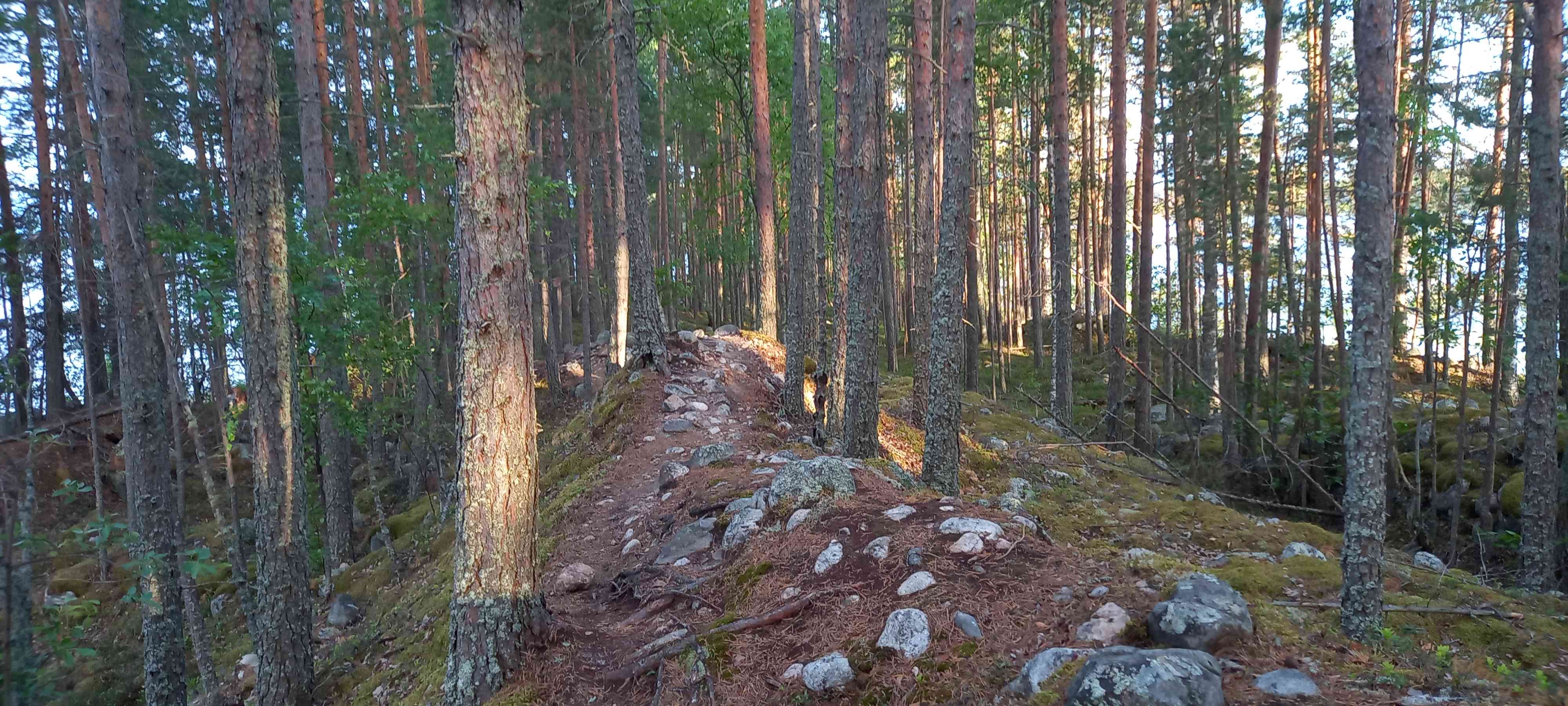
”Pieni polku metsän halki vie”……Kolilla on laaja polkuverkosto, mutta sen sijaan harmi, että kirjanpainajan toukka on tuhonnut laajalti kansallispuiston kuusikoita. Toisaalta se on osa luonnon normaalia kiertokulkua.
Kolin kylällä odotti aivan erilainen näkymä kuin Kolin metsäpoluilla tai Pielisen rauhallisessa saaristossa. Lähinnä tuli mieleen ”turistirysä” verrattuna siihen kun oli viimeksi tullut käytyä Kolin kylällä.
Kylänäkymä oli muuttunut PKO:n hotelleineen ja kauppaliikkeinen entisestä aivan toiseksi. Tienvarsiplakaatteja siellä täällä ja paljon matkailijoita pyörimässä kylän keskustan palvelukohteissa. Kolin kylä vaikutti vanhaan muistikuvaan verrattuna nyt kuin Alppien vilkkaalta laskettelukylältä sen kesäversiona. Kylänraitilla oli liikkeellä paljon myös ulkomaalaisia matkailijoita kotimaisten lisäksi.

Kolin kylältä täydentävät ruokaostokset ja normiretkiaterian sijaan vatsan täydennystä grillikanasalaatilla paikallisessa ravintolassa, Pekalla lautasella jykevämpää pihviä. Kylmät huurteiset ruokajuomaksi. Maistuivat retkiruuan sijaan.
Matka takaisin Kolin satamaan sujui vauhdilla alamäkeen pienellä poikkeamalla Kolin Mattilan vanhalle maatilalle. Tilan rakennuskanta oli tuulahdus Kolin menneisyydestä hyvin ystävällisellä palvelulla, tuoreella kahvilla ja leivonnaisilla (vegaanikakku oli erinomaista), täysi vastakohta Kolin kylän turistirysälle.
Metsähallituksen omistaman matkailutilan emäntä pääsi hyvin juttuun Pekan kanssa aina yhteiseen pohjalaissukujuurien taustoitukseen saakka. Paikassa huokui kaikesta menneisyyden rauha, vaikka elämä ennen vanhaan muutaman lehmän/lampaan varassa ei tilalla ollut varmaan koskaan vaurasta. Paikkaa voi ehdottomasti suositella Kolin erilaisena ja mielenkiintoisena käyntikohteena lampaineen.

Hyvän tuulen Mattilan tilalta paluupolku sujui jo helpommin alamäkeen ruokakassin kanssa Kolin satamaan. Retkiakku oli Kolin kylävierailun aikana latautunut täyteen eikä siitä otettu edes maksua. Satamasta oli sopivan lyhyt soutumatka täydellä vatsalla ja hyvällä mielellä kohti läheistä Hiekkasaarten leiripaikkaa.
Hiekkasaaressa Pielisen soutu- ja leiripystytyksen perusrutiinit näkyivät jo kaikessa nopeana toimintana. Mutta….missäs minun telttani oli? Ei rannalla, ei veneessä, missä sitten? Ainoa mahdollisuus oli, että se oli luiskahtanut pois Iso-Korpin rannalle viimeisessä veneeseen raahaamassani isossa kuormassa ilman, että kumpikaan meistä oli sitä huomannut.
Ei auttanut muu kuin soitella muutamalle paikalliselle Kolin matkailupalveluntarjoajalle, että voisiko joku käydä edellisessä yöpaikassamme veneellä tarkistamassa, josko se olisi jäänyt sinne. Osalla matkailupalvelutarjoajista ei ollut sopivaa venettä, ei aikaa tms. syy, jonka takia käynti Iso-Korpissa ei onnistunut.
Onni lopulta oli, että Kelvänsaaren Tarina-Ahon nuorella yrittäjällä Iso-Korppi ja Hiekkasaari olivat kotimatkan varrella juuri sinä iltana ja hän lupasi käydä tarkistamassa asian. Sain jo pikaisesti soiton, että sieltä rannalta se oli löytynyt ja sovittiin vesitreffit Hiekkasaaren edustalle, että saisin teltan yösuojaksi. Vaikka mukana oli myös riippumatto hyttyssuojineen, niin teltta on aina teltta yöpaikkana.
Oppia tuli taas kerran kantapään kautta, että älä koskaan jätä tarkistamatta tarkasti leiripaikkaa ja rantaa ettei tarvitse ikävöidä vesiretkellä tärkeiden tavaroiden perään.
Kelvänsaaren Tarina-Ahosssa on Pielisen saariston perinteisimmistä asuinpaikoista, josta voi varata soutu- tai kanoottiretkelle edullisesti esimerkiksi iltasaunan ja aittamajoituksen aamiaisella. Vahva suositus Pielisen rantautumispaikaksi tai eksoottiselle lomaviikolle. https://www.koli.fi/yritys/tarina-aho-pielisen-saaressa
Kolin retkeilyn jälkeen siihen ei mennyt kauan kun souturetkeläiset kellahtivat teltan suojiin lämpimään makuupussiin mielessä jo ajatus, että Nurmeksen lähtösatama lähenee päivä päivältä jokaisella aironvedolla.
Hiekkasaaren leiripaikan sisääntuloporttina rannassa oli kaksi jykevää puuta, vanhat isorunkoiset koivu- ja haapapuut. Ilta-aurinko kirkasti rannan ruohon vihreääkin vihreämmäksi.
Ennen käpertymistä teltan suojaan, sääennuste lupasi illan kylmän pohjoistuulen vaihtuvan aamuksi etelätuuleksi ja siten lämpenevää, se tiesi hyvää soutukeliä seuraavaksi päiväksi.
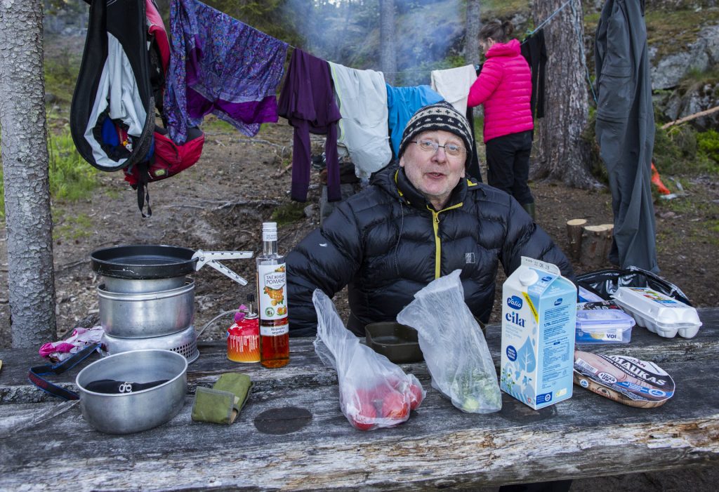
Aurinkoinen aamuherätys maistuvan unen jälkeen ja aamiainen, jolla jaksaa taas pitkän soutupäivän. Kuvassa koottuna ”terveellinen” souturuokavalio. Yksi uusi ja maukkaimpia löytöjä aamiaiseksi oli Elovenan mokkapala pika-annoskaurapuuro. Trangia keittovälineenä, polttoaineena Sinol ja vanha ja monikäyttöinen ”isoäidin” vanha, mutta kevyt rautapaistinpannu kaiken paistovälineenä.
Matkalla olleet ruokatarvikkeet
- Kuivattuja hedelmiä, joita on helppo popsia soudun aikana kun soutuvoima alkaa hiipua
- Kunnon soutuvoima kaipaa isommalla miehellä vääjäämättä pannulla paistettua naudan- ja sianlihaa, jota tulee syötyä purkki/päivä, yleensä illalla leivän ja nopeasti vedessä haudutetun couscusin kanssa tai miksi ei myös keitettyjen uusien perunoiden kanssa
- Mukana oli myös Pielisen Kalajalosteen maukkaita kalasäilykkeitä, joista syntyy pikaruokaa esim. juuri coususin kanssa
- Rypsi- ja/tai oliiviöljyä lähes kaikessa ruuanlaitossa kuten kalan paistoissa, nyt mukana rypsiöljyä
- Pehmeät suklaiset kaurapatukat uusi löytö, maukkaan hyvää pikaenergiaa
- Lämmin pikakuppi ainekset etenkin kylmällä ilmalla ovat paikallaan, joita en tällä matkalla ei tosin tullut kuitenkaan käytettyä
- Kuivaleipää on yleensä mukana monenlaista, kuvassa hyvää Kaurajemmaria mutta mukana myös Rap & Eat Kaura/Chia kuivaleipää
- Musta tee sitoo kaikkia ruokia yhteen ja sitä voi lipitellä tumman ruokosokerin tai juoksevan hunajan kanssa, vaikka koko illan. Nurmeksen S-kaupasta löytyi souturetkelle laadukasta ja maukasta mustaa Assam irtoteetä
– Ja toki loraus Captain Morgan rommia mustaan teehen saattelee nuotioillan päätteeksi unten maille, aamulla sitä ei passaa ottaa. Mukana oli myös Vana Tallina likööriä pari pulloa, mutta se jäi täälä kertaa lähes käyttämättä
Ti 1.7. Hiekkasaari – Pieni Ristisaari (20 km)
Pohjoistuuli puhalsi edellisenä iltana vielä varsin voimallisesti ja suurin osa ajasta meni teltan lämpimässä makaillessa. Onneksi säätyyppi vaihtui yön myötä ja keli lämpeni, pohjoistuuli vaihtui etelätuuleksi. Se tiesi reipasta soutumatkaa kohti seuraavaa leirisaarta perusaamiaisen jälkeen.
Soutu maistui hyvältä koko päivän ja Hiekkasaari jäi nopeasti kauas horisonttiin. Välillä tuli ihmeteltyä Kolista pohjoiseen olevaa Loma-Kolin ranta-aluetta, joka oli pitkältä matkalta aivan täynnä vuokrattavia tai omistuksellisia loma-asuntoja. Alue oli laaja ja tiheästi rakennettu mökkikeskittymä Pieliseltä päin katsottuna.
Soutumatkan päämääräksi illan korvassa valikoitui Pieni-Ristisaari ja sen itärannan suojelualue, josta oli paljastunut pieni hiekkaranta Pielisen alhaisella vedellä. Majoituimme muurahaisten valtaamalle, osin kivikkoiselle rannalle, mutta tulimme hyvin toimeen näiden ahkeran vikkelien kavereiden kanssa.
Kaikki perusrutiinit, telttapaikan valinta ja sen pystytys, iltaruokailu ja lopulta makuupussin lämpimään iltauinnin jälkeen. Aamulla nopea teltan purku, pika-aamiainen ja soutu suuntautui kohti viimeistä yöpymisetappia, Kynsisaaren päässä olevaa Haukiniemen virallista rantautumispaikkaa kohti.
Ke 2.7. Pieni Ristisaari – Haukiniemi (22 km)
Soutuintoa riitti hyvin nukutun yön jälkeen ja aurinkoisen päivän sivumyötäinen tuuli vauhditti matkaa. Pielinen osoitti parhaat puolensa, sopivan tyyni ja kaikin puolin mainio soutukeli kohti Haukiniemeä.
Pieni pysähdystauko Hiekkasaarella, jossa oli pari mökkiä. Yksi mökinomistajista kalasteli saaren lähistöllä ja tuli hieman epäillen jututtamaan meitä, että ollaanko oikealla asialla. Pääsimme juttuun kun kerroimme olevamme Pielisen ympärisouturetkellä kohti Kynsisaaren Haukiniemeä joka jo häämötti kaukaisuudessa. Toki vaihdettiin Pielisen kalakuulumisia, mutta ilman retken kireitä siimoja.
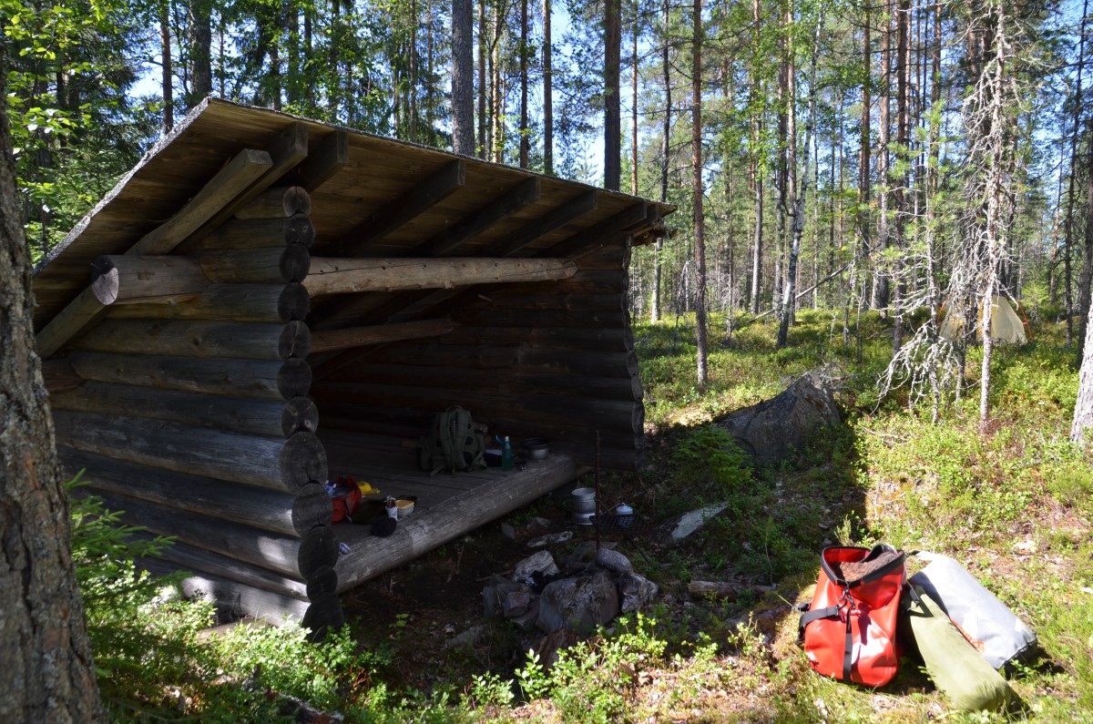
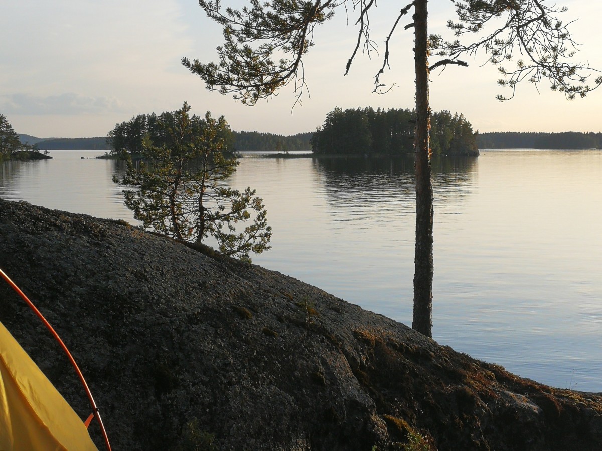
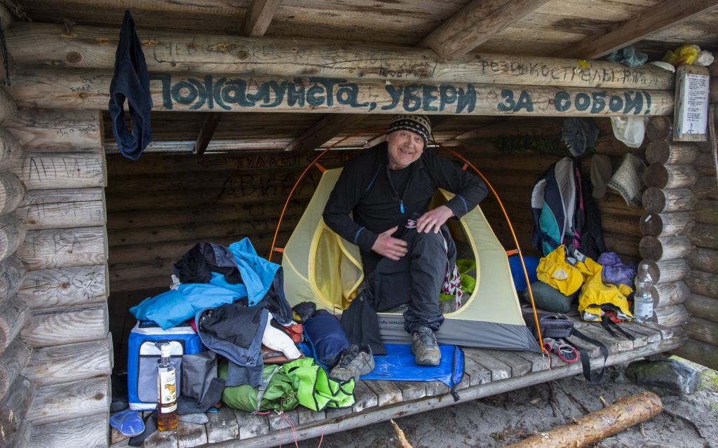
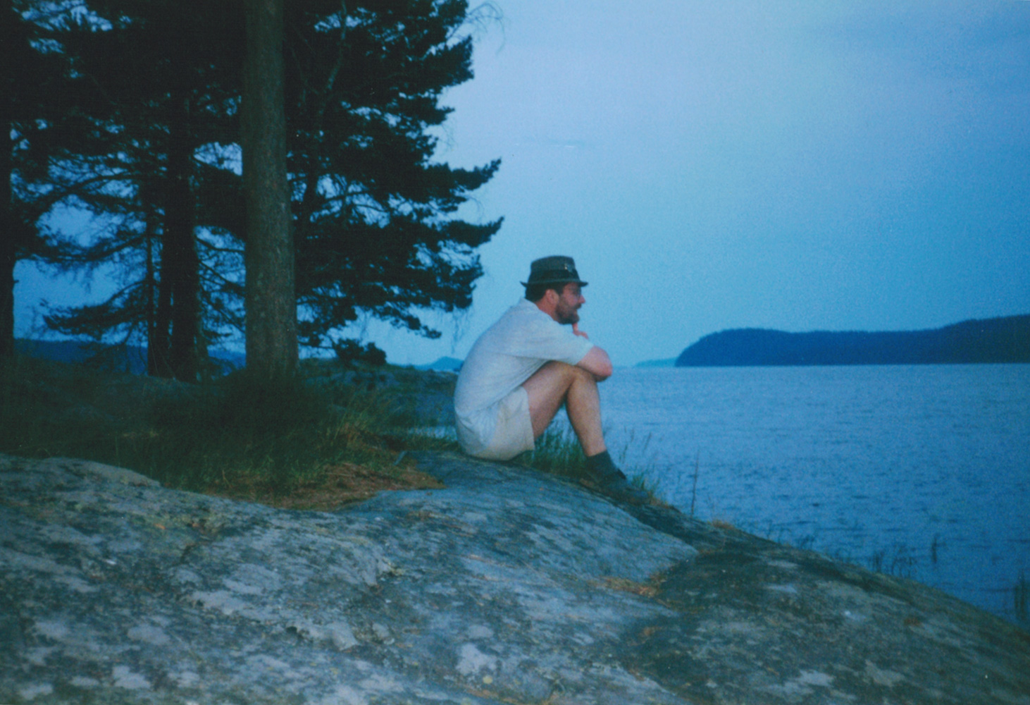
Rantauduimme Kynsisaareen puoli kuuden maissa ja tutut rutiinit: telttapaikan varmistukset, veneen purku ja illallinen. Itse laitoin ruokaa laavulla, sen sijaan Pekka nautti laajasta Pielisen järvimaisemasta ja veden läheisyydestä rantakalliolla.
Koko soutumatka puudutti jo Haukiniemessä, mutta avarat maisemat, hienot vanhat haapapuut ja haavanlehtien helinä tuulessa, iltapulahdus uimaan, kallioon hakattu vuosimerkintä ja erikoinen eläimen kynsi/räpyläluu (?) saivat aikaan uusia tarinoita kerrottavaksi Pieliseltä.
Henkilökohtaisesti Hakuniemen rantautumispaikka oli tullut jo tutuksi aiemmin useilla soutu- ja moottoriveneretkillä, mutta aina tästä suositusta paikasta löytää jotain uutta kuten tälläkin kertaa Pekan tarkalla silmällä havaitsema rantakallion vanha vuosimerkintä. Ainoa huono asia paikassa on rantautuminen koska se on joka puolelta kivinen ja sillä tavalla hankala etenkin matalan veden aikaan rantautua tuulella esimerkiksi lasikuituveneellä.

To 3.7. Haukiniemi – Nurmeksen satama (20 km)
Huomenta viimeinen soutuaamu! Soutumatkan loppuetappi edessä ja normaalit aamurutiinit aamutankkauksineen. Vaikka tuuli oli hieman vastainen, niin matka joutui pitkin Kynsisaaren itäreunaa pitkin kohti Nurmesta parin venyttelytauon ja Rapasaarella vietetyn tukevamman ruokailutauon vahdittamana.

Tyyni järvi oli houkutellut myös moottoriuistelijan järvelle. Yllättävää sen sijaan oli, että moottoriveneilijöitä emme juurikaan nähneet koko reissun aikana Pielisellä, tämä oli yksi harvoista.
Rapasaaren jälkeen jokainen aironveto tuntui vauhdittavan loppumatkaa entistä kiivaampaan tahtiin. Nurmeksen satama lähestyi vauhdilla pientä Kuusisaaressa vietettyä voimistelutaukoa lukuun ottamatta.
Viimein Pielisen soutajat palaavat lähtösataman suojaan. Nurmes – Pielinen – Nurmes tour oli vihdoin kierretty ympäri myötäpäivään, alas itärantaa ja ylös länsirantaa. Kovavauhtinen soutu, josta ilman huonoa säätä olisi kenties nipistynyt pari päivää pois.
Hieno pitkä souturetki kaikkine Pielisen järven soutu-, erilaisine sää-, leiriytymis-, järviluonto-, Koli- ym. kokemuksineen. Nyt kun kaikki on takana, niin olo on seesteinen kuin Pielisen tyyni järvenpinta. Pielisen ympärikierrossoutu on nyt tehty ja seuraavat järvisoudut odottavat soutajaansa sopivissa kohteissa.

Paluukuvaan Nurmeksen satamaan, sieltä mistä lähdettiin 11 päivää sitten, on hyvä päättää soututarina. Hyvästi Pielinen, mutta vain hetkeksi aikaa.
ISO KIITOS PIELISELLE, PEKKA POUHULALLE ja
”ONE GO” PUUVENEELLE SOUTURETKESTÄ!
======================================================================================================================================
Kipparin(Pekan) mietteitä
Muutama vuosi tuli mietittyä Pielisen kiertoa, nyt se vihdoin toteutui. Järvi oli karun näköinen kun vesi oli alhaalla ja kivikkoiset rannat näkyvillä. Etukäteen kun suunnittelin retkeä niin arvailin sen kestävän 10-14 päivää, aika hyvin toteutui. Laskin 20 km päivämatkojen mukaan, sopiva matka pitkille souturetkille, nyt toteutui 17km/pv.
Pitkällä retkellä tulee omanlaisensa hyvä tunnelma kun oma keho rupeaa tottumaan 3-4 päivän jälkeen souturetkeilyyn.
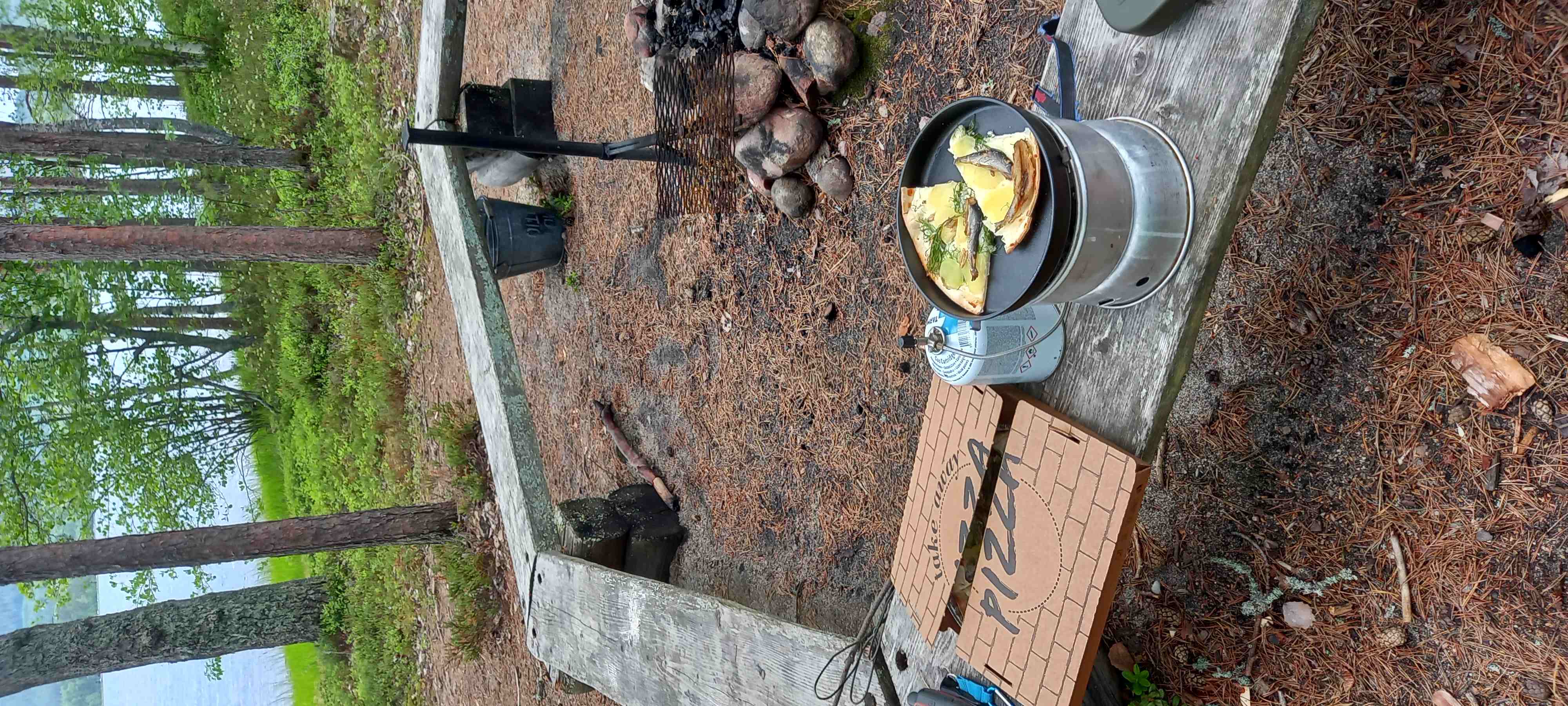
Ostin Kolin satamaravintolasta gluteenittoman savumuikku pizzan mukaan ja söin sen Hiekkasaaren leiripaikassa, ensimmäinen kerta souturetkeily urallani. Tuntui ruhtinaalliselta syödä vaihteeksi pizzaa leiri olosuhteissa.
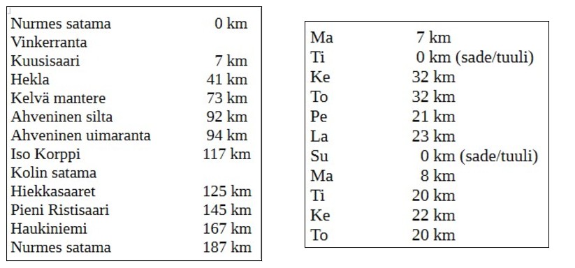
Yhteensä 187 km ja 11 päivää eli keskimäärin 17 km/pv
Aironvetoja oli noin n.30 000 vetoa. Jos yksi aironveto on n.2x4kg niin 1300 kg/km. Koko kierroksella tuli kuntoiltua 240 000 kilon edestä, yhdeltä soutajalta.

